Home Boat Cabin Accessories Boat Books & Calendars
Evergreen Pacific West Coast of Vancouver Island Cruising Atlas
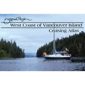
Evergreen Pacific West Coast of Vancouver Island Cruising Atlas
SKU: 141143 Item ID: FEP EVE006
Description
An invaluable planning and navigating tool for exploring the spectacular and remote west coast of Vancouver Island. Reproductions of Canadian Hydrographic charts cover from Victoria to Barkley Sound to Cape Scott to Hope Island.
• 21 overview and 85 detailed charts
• Color aerial photos
• 2003, PB, 126pp.
• 11" x 17"
• Note: these charts are for reference only; for up-to-date navigation information, refer to a current government issued nautical chart
Specifications
MFG #:EVE006
Type
PB
Author
---
Title
Eve. Pac. W. Cst Vancouver Is. Cruis. Atlas
Warning
This item may be known to the State of California to cause cancer, birth defects, or other reproductive harm.
Barcodes
9780945265795
619456001167
619456001167