Home Marine Electronics & Navigation Instruments Marine Navigation Charts & Software
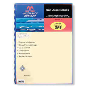
San Juan Islands Waterproof Chartbook
Description
Whidbey Island and Bellingham to Boundary Pass. 23 pages of charts, 130 GPS waypoints, Lat./Long. grids, courses, ramps, and marine facilities. Overview and detailed pass and harbor charts. 12" x 17", scales 1:200,000 to 1:20,000.
Specifications
MFG #:WPB1510
Warning
This item may be known to the State of California to cause cancer, birth defects, or other reproductive harm.
Barcodes
9780743609227
8998460
9780743612012
8998460
9780743612012