Marine GPS Chartplotters and Navigation Systems at Fisheries Supply
We stock a broad selection of marine GPS chartplotters, multifunction displays, and navigation components. Our lineup includes fixed-mount chartplotters, GPS antennas, NMEA network components, portable handheld GPS and satellite communicators.
What to Know
- GPS chartplotters are now standard navigation tools on most boats.
- Modern systems provide accurate positioning, routing, and chart display.
- Handheld, fixed-mount, and multifunction displays serve different boating needs.
- Integrated navigation improves safety and situational awareness on the water.
Understanding GPS Technology
GPS is a satellite-based navigation system that delivers continuous position, speed, and time information at no cost to the user. It functions on land, at sea, and in the air, and remains available in most weather conditions.
The system uses satellites in medium Earth orbit, approximately 12,550 miles above the Earth. A GPS receiver calculates its position by comparing timing signals from multiple satellites with their known orbital locations. Under normal conditions, this process provides horizontal accuracy of about six meters.
Types of Marine GPS Devices
- Handheld and Portable GPS: Compact, self-powered units suited for kayaks, paddleboards, sailing dinghies, john boats, or use as a backup navigator on larger boats.
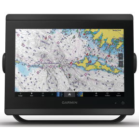
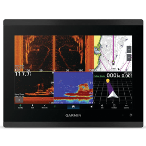
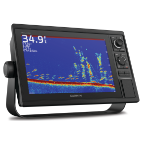
- Fixed-Mount GPS Displays: Permanently installed chartplotters designed for dedicated helm stations and continuous onboard use.
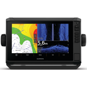
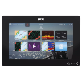
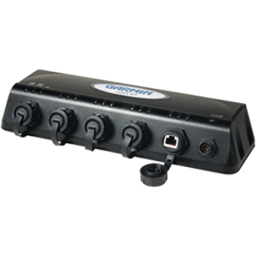
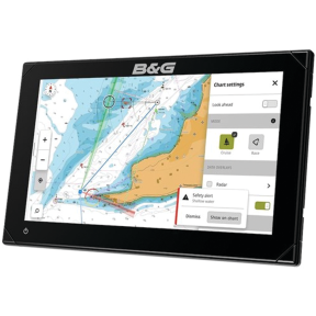
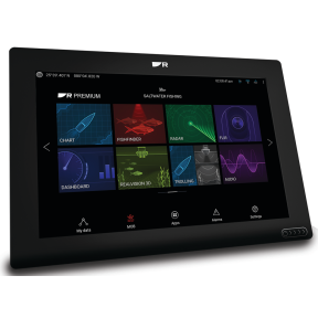
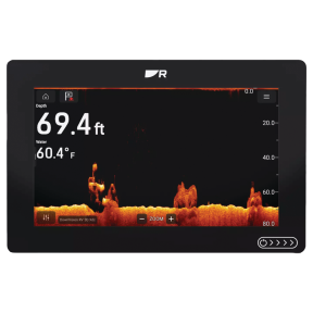
- Multifunction Displays (MFDs): Integrated navigation systems capable of combining GPS charting with radar, sonar, and autopilot control through networked electronics.
Benefits of Marine GPS Chartplotters
- Accurate positioning for confident navigation and route monitoring.
- Waypoint and route management to plan trips, link destinations, and save routes for future use.
- Digital chart display that shows real-time boat position on electronic charts, similar to modern road navigation systems.
- System integration with other marine electronics, including autopilots and VHF radios that support DSC emergency signaling.
Why Choose Fisheries Supply?
Fisheries Supply focuses on marine navigation and electronics, offering equipment suited for coastal cruising, offshore passage-making, and inland waterways. Our inventory supports both new installations and system upgrades.
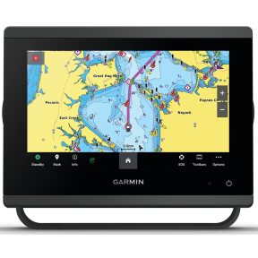
- Trusted marine brands including Garmin, Raymarine, and B&G Electronics.
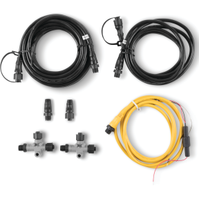
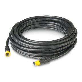
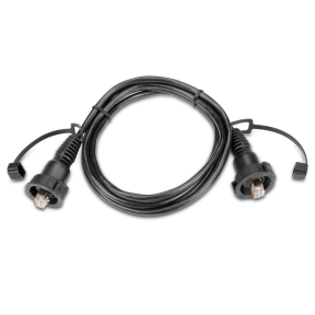
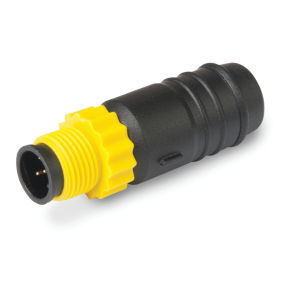
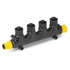
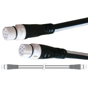
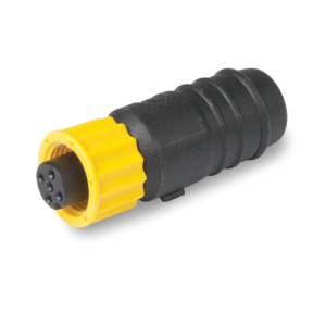
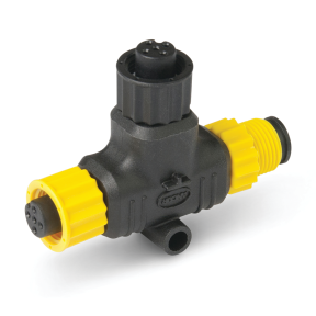
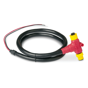
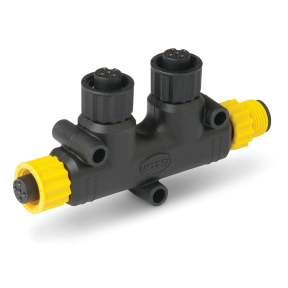
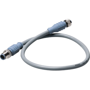
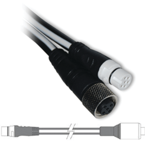
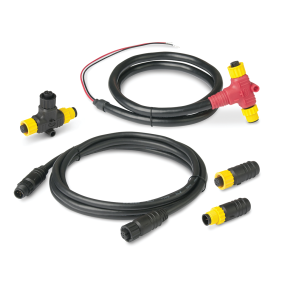
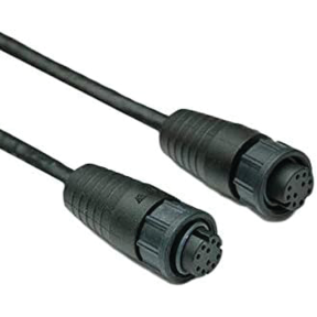
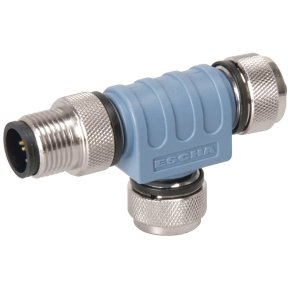
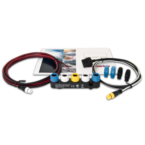
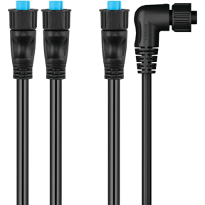
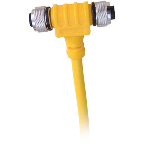
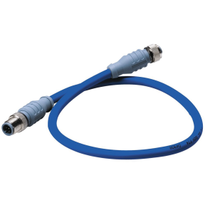
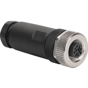
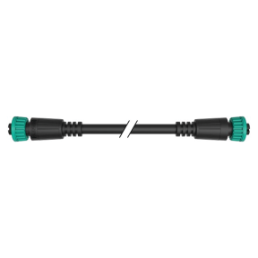
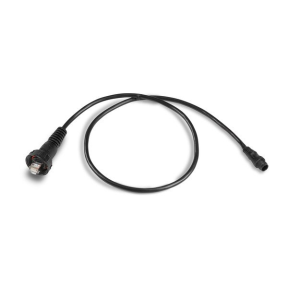
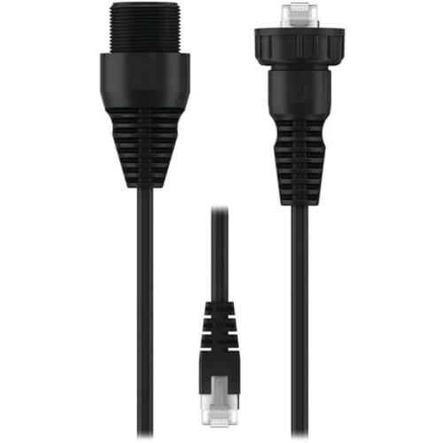
- Complete system coverage from handheld GPS units to advanced MFDs, antennas, cabling, and NMEA components.
- Knowledgeable support to assist with product selection, compatibility questions, and installation planning.
To finish your installation, explore our selection of marine electronic mounts and housings, designed to support secure and readable helm layouts.
Frequently Asked Questions
What is the Global Positioning System (GPS)?
GPS is a satellite-based navigation system that provides continuous position, speed, and time information worldwide at no cost to the user.
How accurate is marine GPS positioning?
A GPS receiver can typically determine horizontal position within about six meters and vertical position within roughly ten meters under normal conditions.
What types of marine GPS devices are available?
Marine GPS devices are commonly available as handheld portable units, fixed-mount chartplotters, and multifunction displays that integrate multiple navigation functions.
What can a marine GPS chartplotter do besides showing position?
Marine GPS chartplotters can store waypoints, create routes, display digital charts, and integrate with other onboard electronics such as autopilots and VHF radios.
What is the difference between a standalone chartplotter and a Multi-Functional Display (MFD)?
While a standalone chartplotter is primarily dedicated to GPS navigation and electronic charting, a Multi-Functional Display (MFD) serves as a central hub for your boat's electronics. MFDs allow you to integrate and control multiple systems such as radar, sonar, AIS, autopilot, and even engine data from a single screen or networked interface.
What major brands are available for marine navigation systems?
Fisheries Supply carries a wide range of industry-leading brands, including Garmin, Raymarine, B&G, and Lowrance. These brands offer various series such as the Garmin GPSMAP and ECHOMAP, Raymarine Axiom and Element, and B&G Zeus or Vulcan, catering to different boat types and navigation needs.
How do I choose the right screen size for my helm?
Screen sizes typically range from compact 5-inch units for small consoles to expansive 24-inch displays for large yachts. When selecting a size, consider your viewing distance, the available mounting space on your dash (flush vs. bracket mount), and whether you need to view multiple "split-screen" data windows simultaneously, such as a chart alongside a fishfinder.
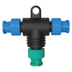
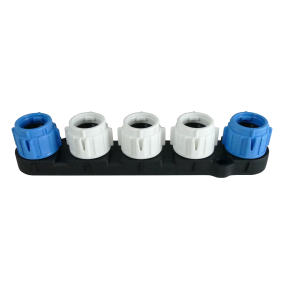
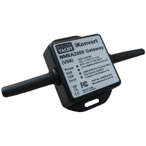
Are these navigation displays compatible with NMEA 2000 networking?
Yes, most modern chartplotters and MFDs utilize NMEA 2000 or proprietary Ethernet-based networks (like Raymarine RayNet or Garmin BlueNet) to communicate with other onboard devices. This allows for seamless data sharing between your display and sensors like wind transducers, fuel flow meters, and external GPS antennas.
Do chartplotters come with pre-loaded maps, or do I need to purchase them separately?
Many units come pre-loaded with basic worldwide basemaps or regional coastal charts. For high-resolution detail—including bathymetric contours, satellite imagery, and "auto-guidance" routing—users often add premium electronic charts from providers like Navionics, C-MAP, or Garmin Navionics Vision+ via SD/MicroSD cards.