Your Guide to Marine Navigation: Electronic and paper charts
Most boaters have experienced it at least once: a familiar run suddenly feels unfamiliar. Shorelines don’t line up with memory, channel markers appear out of sequence, and uncertainty creeps in. Moments like these are a reminder that reliable marine navigation is not a convenience—it is a core safety tool for every trip on the water.
At a Glance
- Marine charts provide essential depth, hazard, and navigation data.
- Electronic and paper charts complement each other as navigation backups.
- Navigation software integrates charts with GPS, AIS, and routing tools.
- The best system is one matched to your boating grounds and experience level.
Understanding Marine Navigation Charts
Marine navigation charts serve the same role on the water that road maps and GPS do on land. Without them, boaters risk grounding in shallow areas, missing navigation aids, or misjudging distances and routes. Charts provide critical information such as depth contours, hazards, channels, and marina locations.
Navigation charts are available in several formats, each suited to different equipment and boating styles.
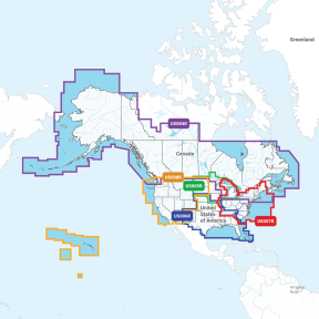
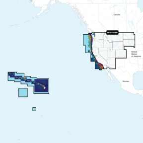
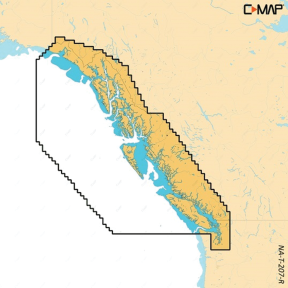
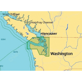
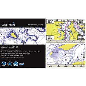
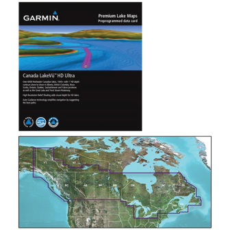
- Micro SD Charts: Compact chart cards that load directly into compatible GPS chartplotters. They provide detailed cartography, including depth contours and points of interest, while taking up minimal physical space.
- SD Charts: Functionally similar to Micro SD charts but designed for electronics that use the larger SD format. These are commonly used in older or legacy navigation systems.
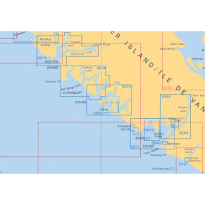
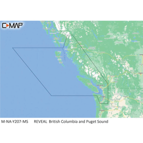
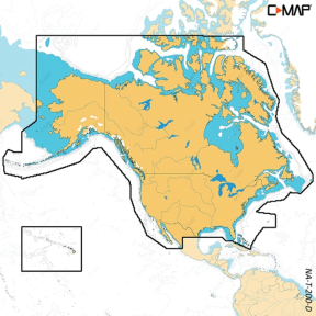
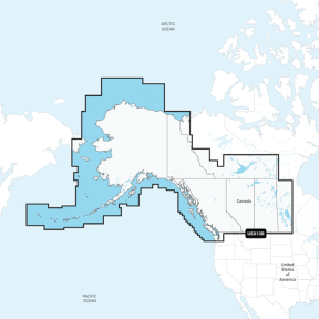
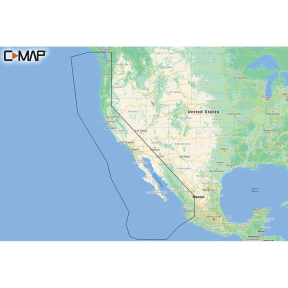
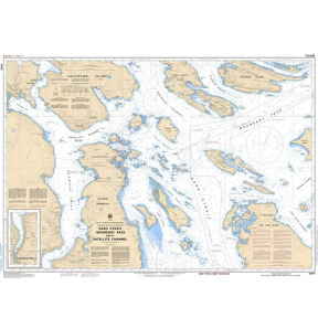
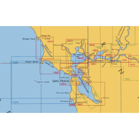
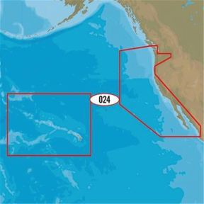
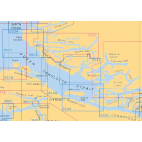
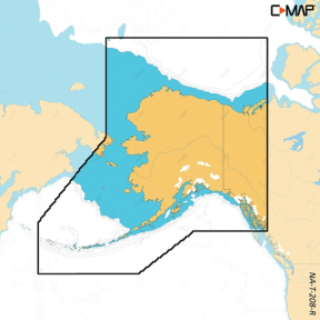
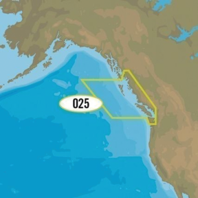
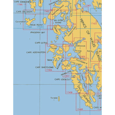
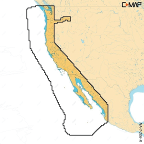
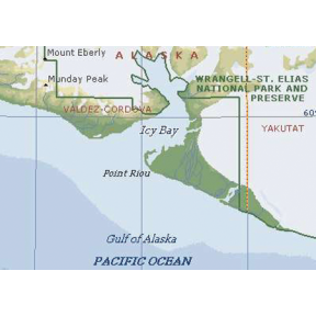
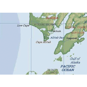
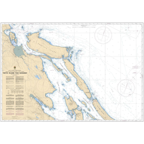
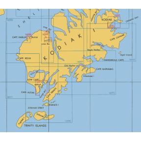
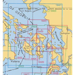
- Single-Area Charts: Focused coverage for a specific region. These charts are practical for boaters who operate consistently in the same waters and do not need broad geographic coverage.
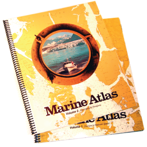
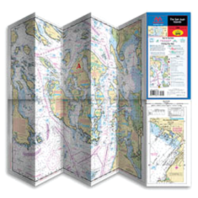
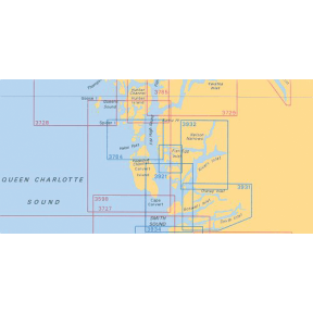
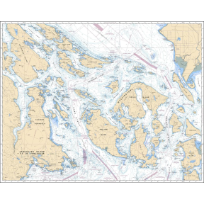
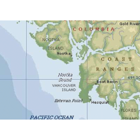
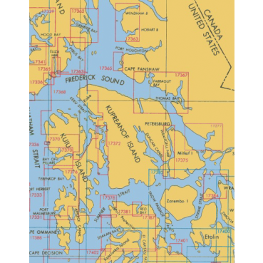
- Chart Books: Printed collections of navigation charts bound into a single volume. Chart books remain a dependable reference when electronics fail and are often carried as a backup by experienced mariners.
Marine Navigation Software
Modern marine navigation software extends far beyond basic position plotting. When paired with compatible electronics, it becomes an integrated navigation system that supports planning, situational awareness, and decision-making underway.
Several charting platforms are widely used by recreational and professional boaters:
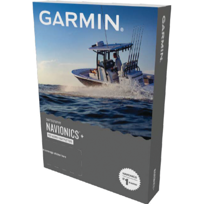
- Navionics Charts : Known for an intuitive interface and regularly updated data. Community-contributed information adds practical, real-world detail for many cruising areas.
- Garmin BlueChart : Designed to integrate seamlessly with Garmin chartplotters and onboard electronics, allowing navigation, sonar, and autopilot systems to share a common charting foundation.
- Maptech Charts : Valued for their balance of detailed cartography and practical usability, with a long history of use among professional mariners.
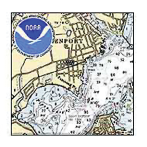
- NOAA Charts : Official government charts produced by the National Oceanic and Atmospheric Administration, available in vector and raster formats and widely regarded as an authoritative reference.
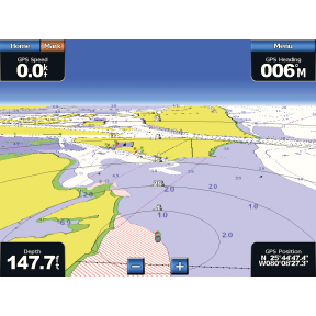
Navigation Features That Matter on the Water
Beyond showing position, current navigation systems provide tools that help boaters anticipate conditions and make informed decisions while underway.
- Real-Time Updates: Alerts and data related to weather changes, temporary hazards, or chart corrections.
- GPS Integration: Displays speed over ground, course made good, and estimated arrival times for more accurate trip planning.
- Route Planning Tools: Support for planning routes with consideration for tides, currents, and timing.
- AIS Integration: Automatic Identification System overlays that display nearby boat traffic with identifying and movement information.
Choosing the Right Navigation Solution
No single navigation setup fits every boater. Needs vary widely between inland lakes, coastal cruising, and offshore passages. The most effective system is one that matches where and how you actually use your boat.
Consider your typical range, the complexity of local waters, and how comfortable you are operating electronic systems in changing conditions. A straightforward setup that you understand well is often more valuable than a feature-heavy system you rarely use.
Frequently Asked Questions
What information do marine navigation charts provide?
Marine navigation charts show depth contours, hazards, navigation aids, channels, and marina locations to help boaters navigate safely.
What formats are marine navigation charts available in?
Marine charts are available as Micro SD cards, SD cards, single-area charts, and printed chart books.
Why do some boaters carry both electronic charts and paper chart books?
Paper chart books provide a reliable backup when electronic systems fail or lose power.
What does AIS integration add to marine navigation systems?
AIS integration displays nearby boat traffic with identifying information, speed, and direction directly on the navigation display.
What is the difference between Micro SD and standard SD marine charts?
The primary difference is the physical size and hardware compatibility. Micro SD charts are designed for modern, compact GPS units and chartplotters where space is limited, while standard SD charts are typically used in older or larger legacy marine electronics. Many current map cards are sold as Micro SD with a full-size SD adapter included to ensure compatibility across various devices.
Can I return an electronic chart if it doesn’t work with my plotter?
Electronic charts are generally non-returnable once the packaging has been opened, unless they are found to have a manufacturing defect. It is essential to verify compatibility with your specific chartplotter model and software version before purchasing.
Are paper charts and chart books still necessary with modern GPS?
While electronic charting offers real-time precision and advanced features like depth shading, many mariners carry paper charts or chart books as a reliable backup. Physical charts are invaluable in the event of an electrical failure or equipment malfunction and are excellent for high-level passage planning.
What are the benefits of using a "Single Chart" over a regional map card?
Single charts provide highly focused, laser-sharp detail for a specific local area, such as a home port or a single vacation destination. They are often more cost-effective for boaters who do not plan to travel outside of their immediate region and do not require extensive coastal coverage.
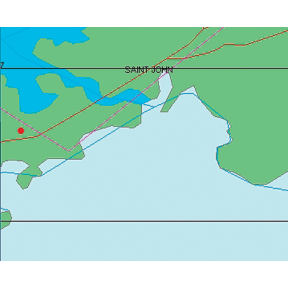
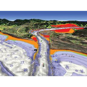
What features are included with advanced electronic charts like Navionics+ or C-MAP?
Advanced electronic charts often include high-definition bathymetry (1-foot contours), dock-to-dock route guidance, shallow water shading, and community-sourced data for local points of interest. Some versions also offer satellite imagery overlays and 3D perspectives to aid in complex navigation.