
Description
Important Information: This item is not returnable. If you're not sure which version you need, contact customer service and we can help you find the right option for your chartplotter.
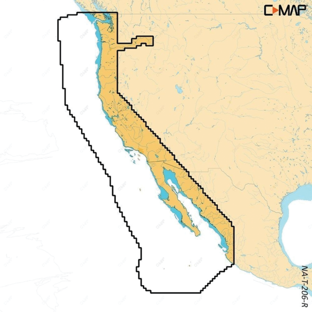
Compatible with SIMRAD® NSX®, NSX ULTRAWIDE and B&G® Zeus® S
Whether you are cruising or fishing, C-MAP® REVEAL™ Coastal charts provide the finest offerings from C-MAP. Featuring Shaded Relief, which encompasses Reveal Seafloor, Aerial Photography, Satellite Overlay, and Dynamic Raster Chart presentation, these charts enhance the core C-MAP functionalities available in DISCOVER™ – which includes comprehensive Vector Charts, Custom Depth Shading, Tides & Currents, and Easy Routing. Additionally, it incorporates the top-tier C-MAP High-Resolution Bathymetry, along with integrated Genesis® data. The purchase comes with a complete 12 months of online updates.
Bottom Composition
The bottom Composition layer comes from thousands of C-MAP Genesis and Biobase user's personal sonartrips.
Raster Charts
Raster charts bring a traditional paper chart look and feel. *only available in C-MAP Reveal Coastal.
Shaded Relief
Shaded Relief will present the data with a 3D appearance, which is easier to interpret versus traditional contour lines.
Satellite Overlay
Satellite imagery provides real-world reference, enhances situational awareness for coastal navigation.
• Shaded Relief – bring the world around you to life, with 3D rendered land and underwater elevation – including areas of Ultra-High Resolution Bathymetric imagery previously only available in MAX-N+ Reveal – a game-changer for anglers.
Next-Generation Charts
Refreshed chart presentation, with full-featured vector data and rich features
Intuitive Map Inspector Tool
Quickly see information on locations, POIs, tides, channels and more, with a simple touch of the screen.
Day & Night Mode
Best-in-Class Day & Night Modes ensure best visibility in all light and weather conditions
Vegetation
The vegetation layer comes from thousands of C-MAP Genesis & Biobase user's personal sonar trips.
Bottom Hardness
Fish love hard bottoms. They feed on them, breed on them, follow their edges like roads. The new bottom hardness layer shows the location, shape and depth of hard-bottom areas (not available in all locations).
• Aerial Photography – a collection of thousands of photos of marinas, harbors, inlets and other notable navigational features included to offer an additional level of detail.
• Satellite Overlay – satellite imagery gives information about the surroundings when you find yourself in an unfamiliar place.
• Dynamic Raster Charts – providing the traditional chart look and feel, coupled with easy access to all objects on the chart.
• Full-Featured Vector Charts – making navigation easy by giving you accurate, up-to-date vector chart detail derive from official Hydrographic Office information.
• Custom Depth Shading – set a clear safety depth, maintain a paper-like view or create your own custom shading.
• High-Resolution Bathymetry – HRB layer helps you identify shallow areas, drop-offs, ledges, holes or humps. Now includes compiled and quality-controlled Genesis detail as part of singular HRB layer.
• Easy Routing – helps you automatically plot the shortest, safest route based on detailed chart data and your personalized vessel information.
• Tides & Currents – shows projections of water level and direction of tides to help plan your day out, cruising, angling or sailing.
• Detailed Marina Port Plans – docking in an unfamiliar port is no problem when you have precise layouts of thousands of marinas, including slip spaces, restricted areas and other valuable navigation information.
• Harbor & Approach Details – unprecedented level of detail. Approach any harbor and inlet with confidence. The perfect conclusion to a long voyage, sailing adventure or an exciting day of fishing.
• Online Updates – keep your chart up to date, with 12 months’ free online updates.
• This product may not be returned.