











Navigate Confidently with Fisheries Supply Navigation Tools
Traditional marine navigation tools support paper-chart plotting and celestial navigation, and can back up electronic systems on coastal and offshore passages. Choose tools for the task: parallel rulers and dividers are used with paper charts, while sextants support celestial sights.
Traditional Marine Navigation Tools
Accurate navigation starts with reliable tools. Traditional marine navigation instruments can provide backups to electronic systems and support paper-chart navigation and celestial reference.
Navigation Tools for Sailing
For coastal and offshore sailing, plotting tools are used with paper charts. Mechanical instruments can be used independently of onboard power.
Coastal and Offshore Navigation
| Coastal and Offshore Navigation Tools | Use |
|---|---|
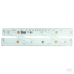
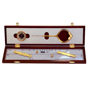
| Parallel rulers | Plot and transfer courses directly on nautical charts. |
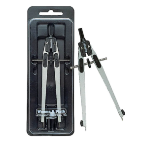
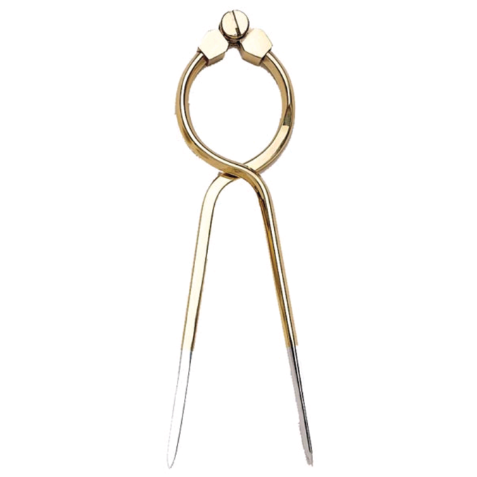
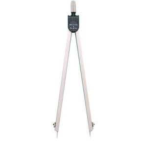
| Dividers | Measure distances and compare chart scales. |
| Marine sextants | Take celestial sights when electronic navigation is unavailable. |
These tools are designed for use with paper charts. Browse nautical charts to complete a navigation setup.
Inland and Coastal Trips
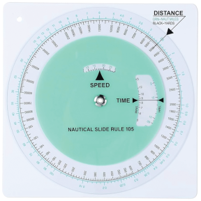
- Slide rules calculate speed, time, and distance for navigation decisions.
Frequently Asked Questions
What manual tools are used to plot a course on a nautical chart?
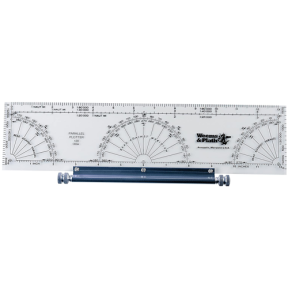
Parallel rulers draw course lines, and dividers measure distances between points. Protractors and parallel plotters can determine bearings and angles directly on a paper chart.
Why carry traditional navigation instruments such as sextants and slide rules?
They can serve as backups to electronic systems. Marine sextants allow celestial navigation if GPS is unavailable offshore, while navigational slide rules (or speed-time-distance computers) calculate speed, time, and distance without power or batteries.
What is the difference between standard dividers and one-hand dividers?
Standard dividers typically require two hands for precise adjustment. One-hand dividers have a handle design that lets the navigator open and close the points with one hand, leaving the other free to hold a ruler or steady themselves on a moving vessel.
Are there tools for identifying navigation lights and rules of the road?
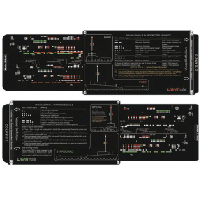
Quick reference cards and tools such as the LIGHTrule and ROADrule provide visual aids for identifying vessel lights, day shapes, and right-of-way maneuvers in U.S. and international waters.
What is typically included in a navigation hand tool kit?
Kits such as those from Weems & Plath usually bundle charting tools, including dividers and parallel rulers, with a pencil and sharpener. Some include a protective case for storage on the bridge.
Why keep paper charts and plotting tools on board?
Electronics can fail, and traditional navigation tools allow you to calculate and plot a course without electrical power or GPS reception.