- 15" x 10"
- 94 pages
Description
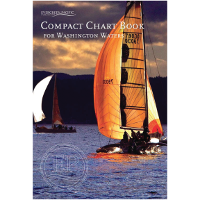
A comprehensive Compact Chart Book dedicated to Washington Waters comprises ninety-four pages bound with saddle stitch binding. The publication encompasses forty-three pages of expansive-scale nautical charts depicting harbors and bays, navigational aids, United States and Canadian Customs information, a Facilities index, and a comprehensive Index of Islands, Bays, Harbors, Passages, Towns, and designated special sites and parks. Additionally, the volume includes bar advisories for the Columbia and Quillayute Rivers, as well as Willapa Bay and Grays Harbor. The geographic coverage extends throughout the entirety of Puget Sound, the San Juan Islands, the Strait of Juan de Fuca, and the western coastline of Washington State extending to the Columbia River.
• Dimensions: 15" x 10"
• 94 pages
• ISBN: 9781934707593
Specifications
This product can expose you to chemicals which are known to the State of California to cause cancer, birth defects or other reproductive harm.
www.P65Warnings.ca.gov