

Choosing Marine Navigation Charts and Electronic Charting
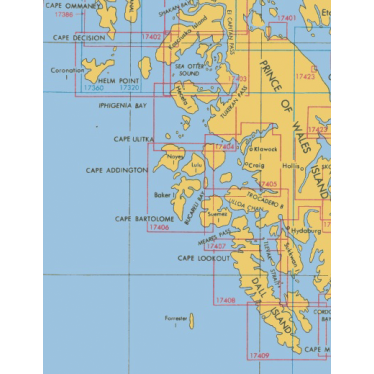
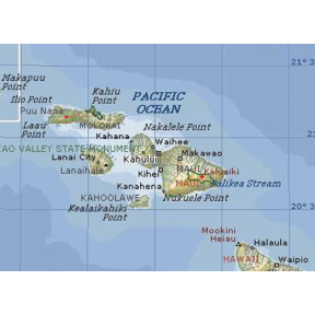
Marine navigation charts show depth contours, hazards, navigation aids, channels, and marina locations to support route planning and navigation underway. Choose charts that cover your boating grounds and, for electronic charts, match your chartplotter model and software version. Printed chart books provide a reference when electronic equipment fails or loses power.
Chart Card Formats, Coverage, and Printed Chart Books
Card format, geographic coverage, and printed format describe different aspects of a chart purchase. Micro SD and SD identify physical card formats; single-area charts describe coverage; chart books are printed collections.
| Option | Purpose | What to Check |
|---|---|---|
| Micro SD chart cards | Load electronic cartography into compatible chartplotters. | Confirm that the chart product, card format, and software version work with your specific chartplotter. |
| SD chart cards | Provide electronic charts for compatible equipment using the larger SD format. | Check the device's required card format and chart compatibility rather than relying on its age or size. |
| Single-area charts | Provide focused coverage for a specific region, useful for boaters who regularly operate in the same waters. | Confirm that the covered area includes your intended routes and destinations. |
| Chart books | Collect printed navigation charts in a bound volume for reference, passage planning, and backup use. | Choose coverage suited to your boating grounds and backup needs. |
Marine Navigation Software
Modern marine navigation software extends far beyond basic position plotting. When paired with compatible electronics, it becomes an integrated navigation system that supports planning, situational awareness, and decision-making underway.
Several charting platforms are widely used by recreational and professional boaters:
- Navionics Charts : Known for an intuitive interface and regularly updated data. Community-contributed information adds practical, real-world detail for many cruising areas.
- Garmin BlueChart : Designed to integrate seamlessly with Garmin chartplotters and onboard electronics, allowing navigation, sonar, and autopilot systems to share a common charting foundation.
- Maptech Charts : Valued for their balance of detailed cartography and practical usability, with a long history of use among professional mariners.
- NOAA Charts : Official government charts produced by the National Oceanic and Atmospheric Administration, available in vector and raster formats and widely regarded as an authoritative reference.
Navigation Features to Compare
Feature availability depends on the software and compatible electronics. Use these functions as comparison criteria rather than assuming they are included with every chart.
| Function | Use on the Water | What to Check |
|---|---|---|
| Updates and alerts | Provide available weather information, temporary-hazard information, or chart corrections. | Which information the specific system supports and how it receives updates. |
| GPS integration | Supports position plotting, speed over ground, course information, and estimated arrival times. | Compatibility between the navigation software and onboard electronics. |
| Route planning | Helps plan routes and timing; supported tools may include tide and current information. | Which planning functions are included and whether they suit your boating grounds. |
| AIS integration | Displays available Automatic Identification System traffic information, including vessel identification and movement. | Support for AIS integration with your compatible onboard equipment. |
Complete Your Navigation Toolkit
Browse navigation tools to complement your charts and route-planning setup. Select tools suited to your boat, boating grounds, and the way you navigate.